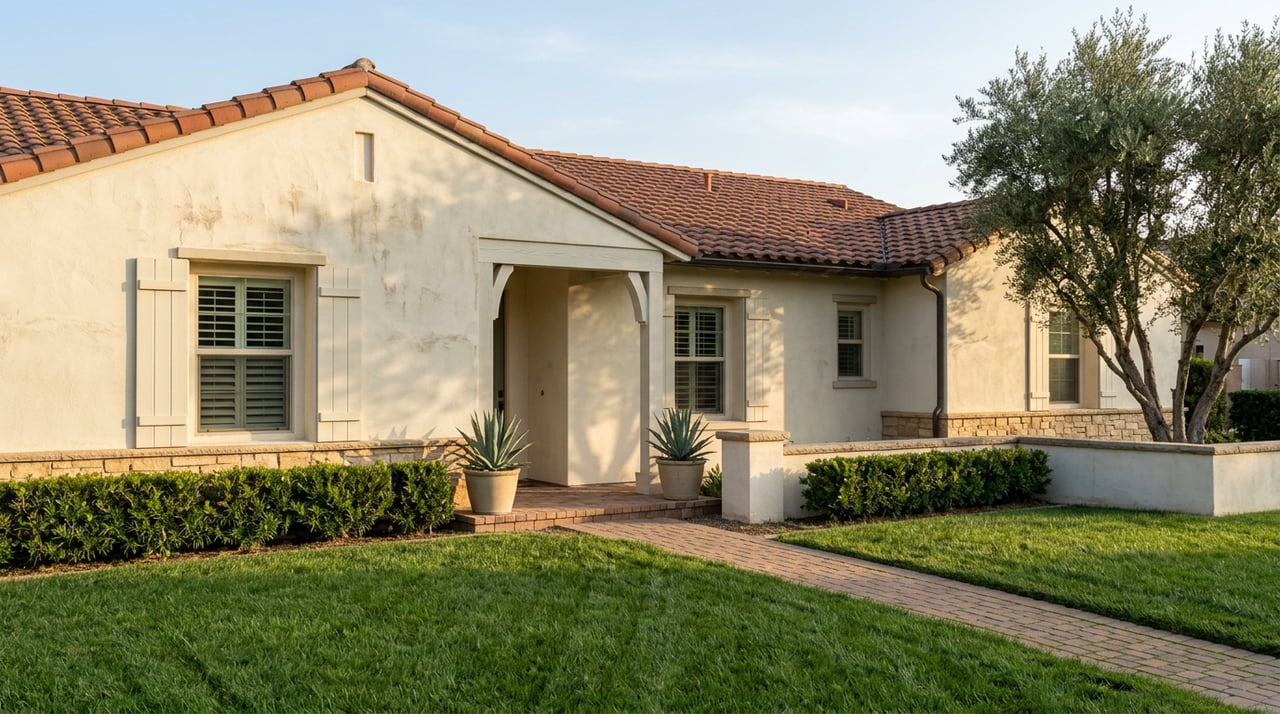
If you bought a home in San Bernardino before last year, the property you own today may carry a state-mandated seller disclosure that didn't exist when you signed your own closing papers. Not because anything changed on your lot. Because California redrew the map around it.
In March 2025, Cal Fire released the first full update to its Fire Hazard Severity Zone maps in fourteen years, covering Los Angeles, Orange, Riverside, San Bernardino, San Diego, Imperial, Mono, and Inyo counties in one batch. The San Bernardino County Fire Protection District adopted the new zones for its own jurisdiction through Ordinance No. 4489 on June 10, 2025. The practical result: some San Bernardino parcels that sat entirely outside any fire hazard classification under the old 2008-2011 map now carry a rating for the first time. Not upgraded. Newly rated. And that rating follows the property into every future sale.
Most coverage of California's insurance troubles treats "San Bernardino" as shorthand for the mountain communities: Big Bear, Lake Arrowhead, Crestline. That story is real, but it's a different market with a different cost structure than the valley floor where most of the city's housing stock actually sits. Conflating the two means sellers either panic over a mountain-cabin insurance bill they'll never see, or assume the valley floor is exempt from a map change that, in a narrower and more specific way, now touches it too.
What actually changed, and when
Before 2025, the state's Local Responsibility Area maps only flagged Very High zones, a legacy of how the 2008-2011 mapping process worked. Moderate and High categories simply weren't part of the local map. The 2025 update added both tiers statewide, which means a San Bernardino parcel could go from "unclassified" straight to "High" without ever passing through a visible middle step. The county's fire district held its public comment period from April 1 to May 6, 2025, then formally adopted the new designations a month later. That ordinance is now the operative map for anyone selling property inside county fire district jurisdiction.
The trigger that matters for a transaction dates back further. Since July 1, 2021, California law has required that anyone selling property located in a High or Very High Fire Hazard Severity Zone provide documentation of a compliant defensible space inspection before the sale closes. That requirement didn't move. What moved is which properties it applies to. A seller whose lot was outside any zone in 2020 can find themselves inside one in 2026, discovering the defensible space requirement for the first time in the middle of their own escrow rather than at any point they controlled.
The county's own Board of Supervisors chair has been blunt about how residents are experiencing this shift. Dawn Rowe told a 2024 town hall on the insurance crisis:
"My insurance is getting canceled, I cannot get insurance or I am being forced into the FAIR plan."
That quote came from the mountain-community conversation, but it captures the same anxiety now reaching valley-floor sellers who assumed the insurance story was happening somewhere else.
Two very different San Bernardinos, one insurance conversation
Here's the number that should reset expectations for anyone shopping the area with a mountain-cabin insurance horror story in their head. A standard homeowners policy for a valley-floor home in San Bernardino or Redlands runs roughly $1,600 to $2,400 a year. A comparable-value cabin in Big Bear Lake, insured through the California FAIR Plan plus a required Difference in Conditions companion policy, runs $6,000 to $14,000 a year, and can climb past $15,000 for higher-value properties with wood shake roofs. That's not a rounding difference. It's two separate insurance markets wearing the same county name.
| Valley floor (San Bernardino / Redlands) | Mountain communities (Big Bear / Lake Arrowhead) | California statewide average | |
|---|---|---|---|
| Typical annual premium | $1,600–$2,400 | $6,000–$14,000+ (FAIR Plan + DIC) | $1,616 (per Insurance.com's 2026 analysis, $300K dwelling coverage) |
| Standard market access | Generally available | Often FAIR Plan is the only writer | Varies widely by ZIP |
| Fire hazard zone exposure | Depends on proximity to foothills; check parcel-level map | Most parcels in High or Very High zones | N/A |
The distinction matters because a buyer comparing a valley-floor listing to a foothill-adjacent one in the same city can be looking at meaningfully different insurance realities, not because the neighborhoods differ in price or condition, but because one parcel sits inside a mapped hazard zone and the other doesn't. The only way to know which side of that line a specific address falls on is to check it directly. Cal Fire's zone viewer and the county fire district's published map are the tools that answer that question at the parcel level, and neither city limits nor neighborhood names are a reliable substitute for it.
The rate increase that raises the stakes
Even for properties nowhere near a mapped hazard zone, the FAIR Plan itself is getting more expensive. The FAIR Plan announced an average rate increase of 30 percent, effective October 2026. That increase lands on top of a market where the FAIR Plan's average residential premium already stood at just over $3,000 a year as of September 2025, the most recent figure the FAIR Plan itself has published.
For a San Bernardino seller whose property was newly classified in the 2025 remap, that timing compounds the disclosure issue. A buyer's lender will typically want proof of bindable insurance in writing before the loan contingency comes off, and if the only market willing to write the policy is the FAIR Plan, an October rate hike is one more variable that can shift the numbers between offer and close.
What this actually means before you sign anything
A few things worth confirming early, whether you're listing a San Bernardino property or writing an offer on one:
- Pull the parcel-specific fire hazard zone status from the county fire district's map or Cal Fire's viewer rather than relying on the neighborhood's general reputation.
- If the parcel is in a High or Very High zone, budget time for a defensible space inspection and its documentation well before your target closing date, not after an offer is already in escrow.
- Ask your insurance agent to confirm, in writing, whether a standard policy is available or whether the property will require a FAIR Plan plus Difference in Conditions structure, and get that answer before removing a loan contingency.
- If you're comparing two San Bernardino listings at similar price points, ask about insurance quotes for each specifically. A few blocks' difference in proximity to the foothills can be the entire explanation for a very different monthly cost.
Frequently asked questions
How do I check whether my specific San Bernardino property is in a mapped fire hazard zone? Cal Fire's Fire Hazard Severity Zone viewer and the San Bernardino County Fire Protection District's own published map both allow address-level lookups. Zone boundaries follow terrain and vegetation data, not neighborhood names, so a parcel-level check is the only reliable answer.
Does the defensible space inspection requirement apply to buyers too, or only sellers? The law places the documentation obligation on the seller at time of sale. Buyers should still confirm the documentation exists and matches the current map designation, since a lapsed or outdated inspection can slow down closing.
If my property is in a High or Very High zone, is the FAIR Plan my only option? Not necessarily. Some standard carriers still write in high-risk zones depending on individual property mitigation, roof class, and defensible space compliance. The FAIR Plan becomes the practical option when standard carriers decline, which is common but not universal.
Does any of this affect homes in downtown San Bernardino or areas well away from the foothills? Fire hazard zone designations are tied to terrain, vegetation, and proximity to wildland areas, so properties well into the urbanized valley floor are less likely to be affected than those in areas like the North End or the Arrowhead corridor, where the city sits closer to the foothills. A parcel-level check remains the only way to confirm status either way.
Insurance and disclosure rules shift faster than most buyers or sellers expect, and a map redrawn in one calendar year can change what your escrow requires the next. If you're weighing a purchase or a sale in San Bernardino and want a straight read on what a specific address actually faces, the team at Pinnacle Real Estate Group can walk through the current zone status and what it means for your timeline before you're deep into a contract.